National Geoscience
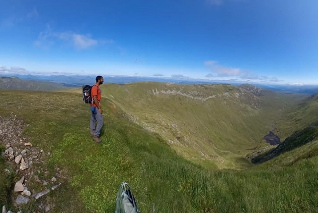
The geology of the UK spans over three billion years of earth history, rocks, sediments and structures. This varied geology is reflected in the range of geological resources and geological hazards encountered in the UK.
Mapping and modelling the UK’s geology is the role of the BGS National Geoscience directorate. We combine the latest survey techniques to create authoritative, modern geological map data, 3D models, and applied knowledge that together describe the country’s geology.
Our work enables stakeholders to make evidence-based decisions about the use of the subsurface, reducing risk and supporting effective resource management. Our expertise extends internationally, where we work in partnership with stakeholders to provide a range of geological mapping, modelling, training and consultancy services.
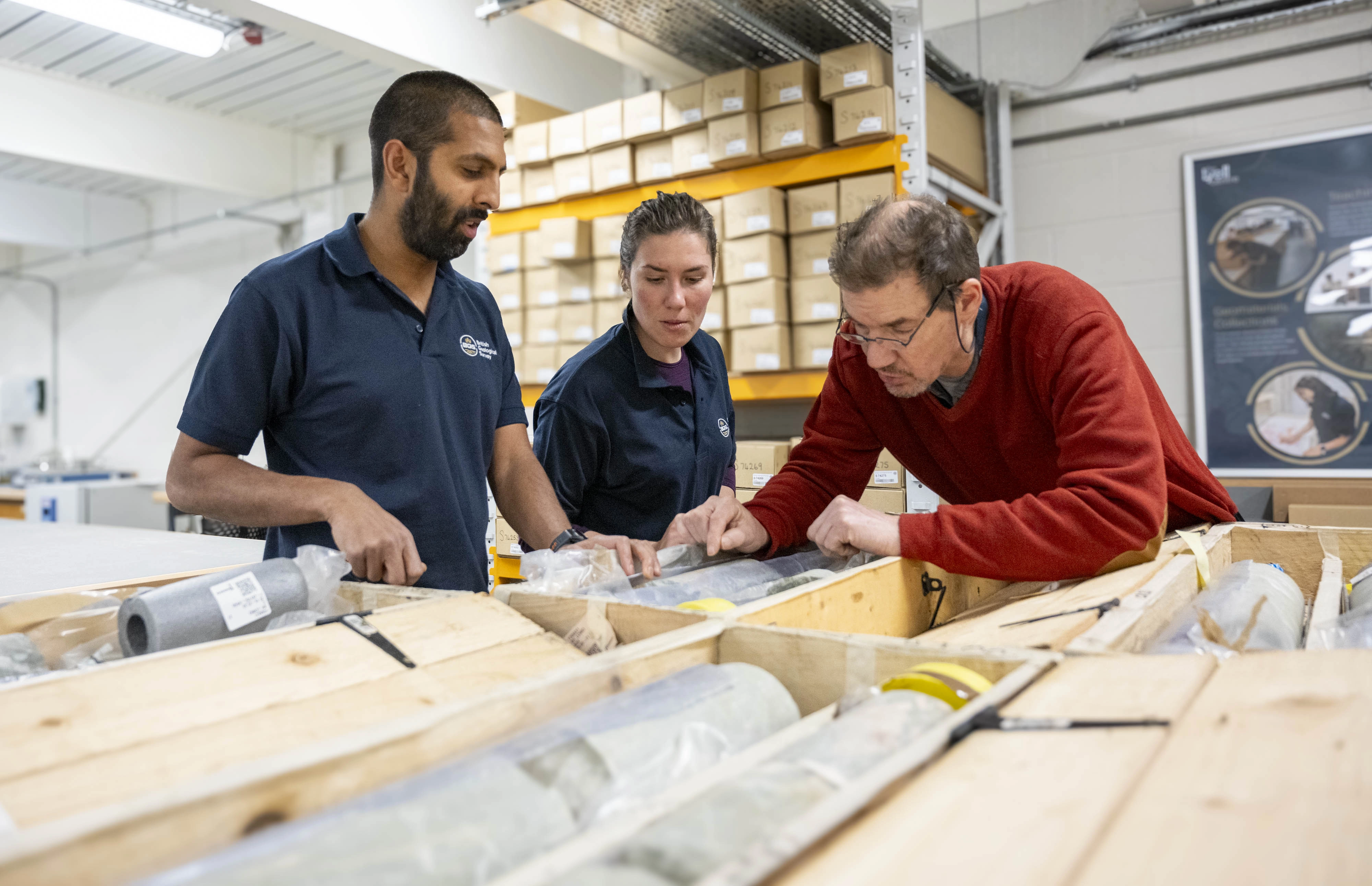

BGS geologists in the Core Store, studying fault-rock core from the Great Glen Fault Zone. BGS © UKRI.

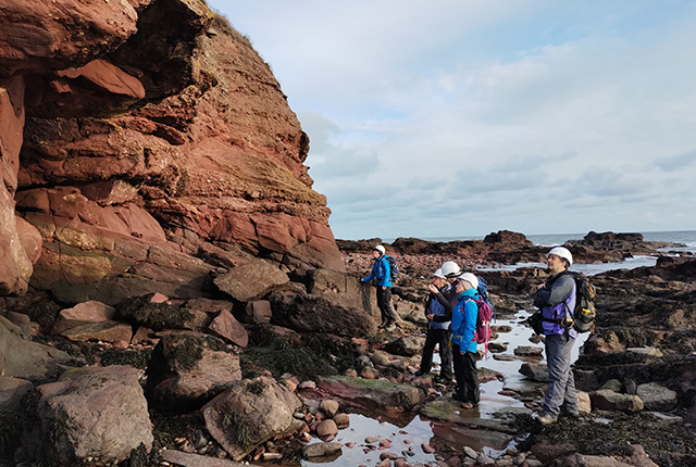
BGS geologists creating sedimentary logs of a limestone aquifer at a working quarry near Bicester, Oxfordshire, to support sustainable management of groundwater resources. BGS © UKRI.

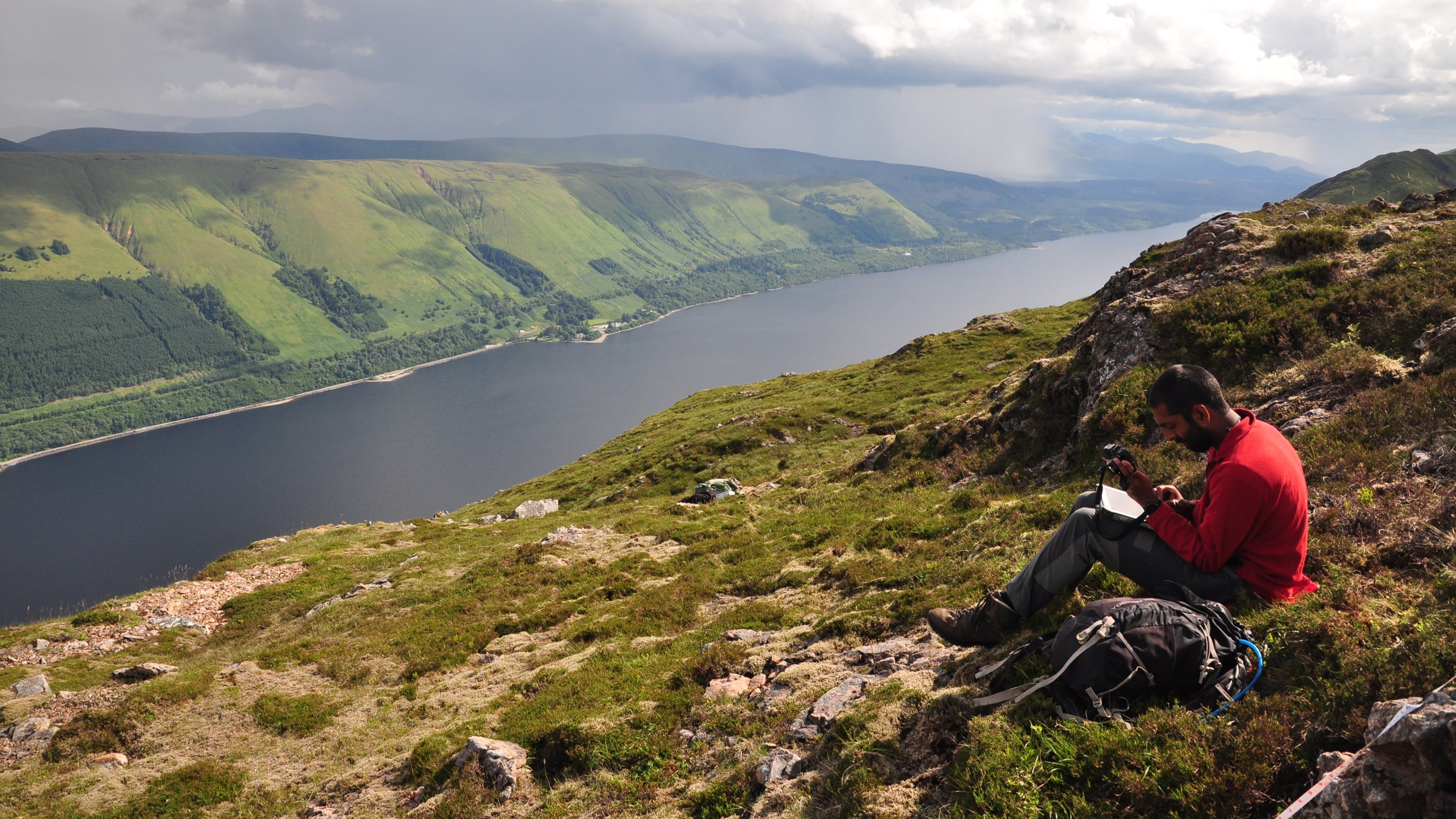
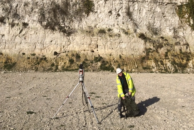
A BGS survey geologist collecting structural data at a quarry in the Mendips, to inform a groundwater model of the region. BGS © UKRI.
By integrating our latest approaches, mapping systems, newly available data and 3D geological modelling with scientific research, we can provide a dynamic understanding of the UK’s geology to deliver positive societal outcomes such as:
- responsible resource extraction
- water security
- long-term stability
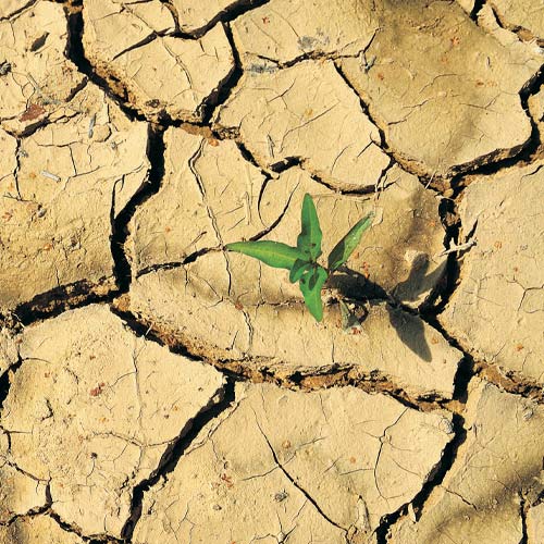
- climate adaptation
- sustainable urban expansion
From safeguarding groundwater supplies to guiding construction projects through the provision of key information to support responsible and de-risked development, our stakeholders can make informed choices based on robust, data-driven geological insights.
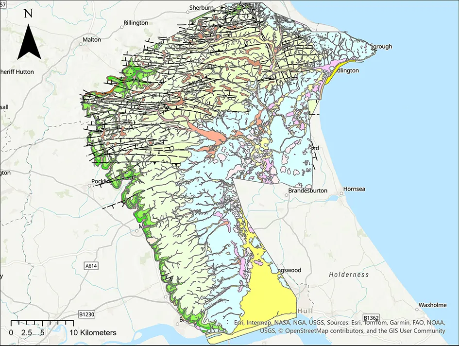
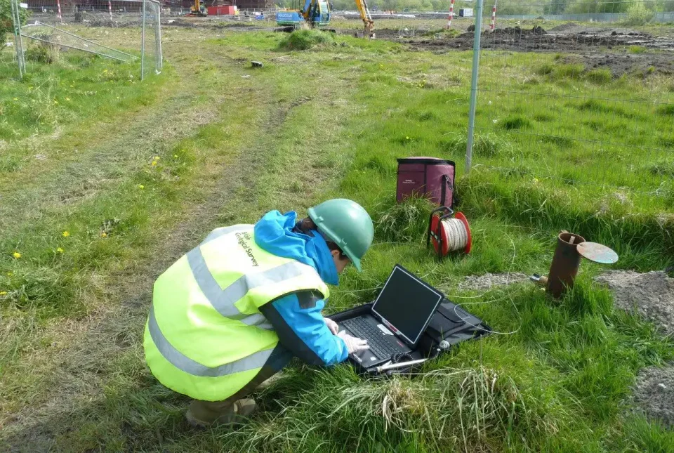
New baseline geological data for the Yorkshire Wolds region to help inform groundwater management and policy decisions – a collaboration with the Environment Agency and Yorkshire Water Services Limited. BGS © UKRI.
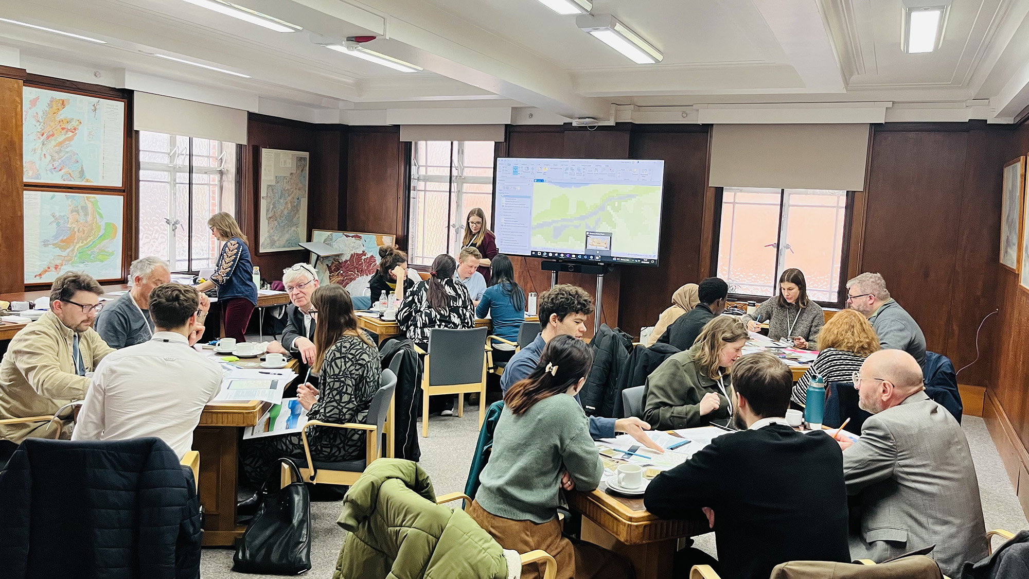
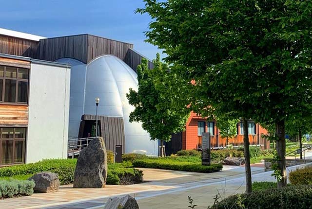
BGS urban geology experts leading an interactive workshop for urban planners and designers at the Natural History Museum, to learn more about the geological considerations for sustainable drainage schemes. BGS © UKRI.
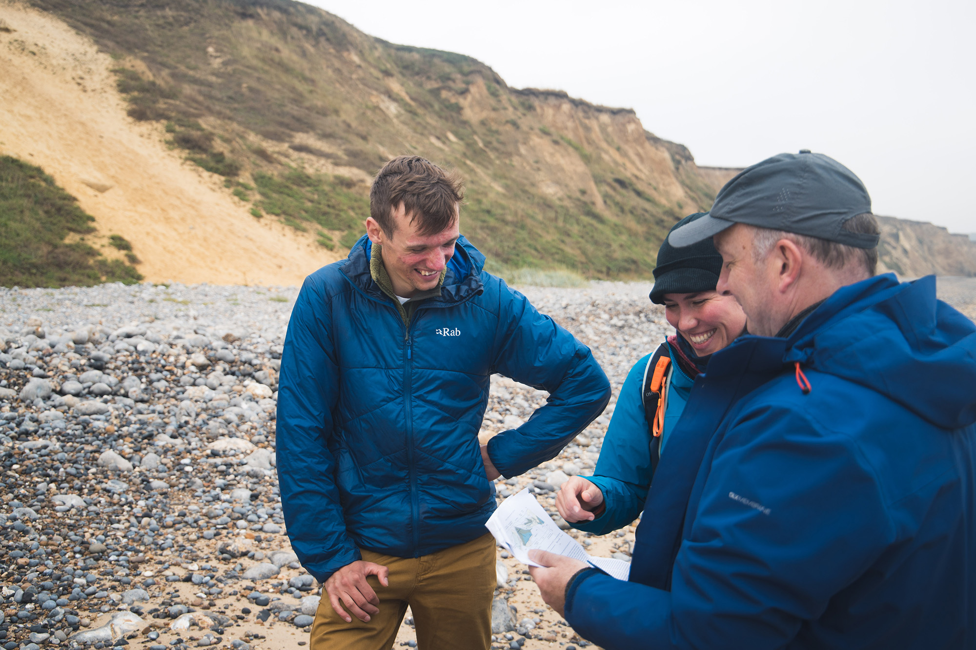
BGS staff studying and discussing coastal exposures of superficial deposits in north Norfolk. BGS © UKRI.
Drawing on distributed national expertise across BGS offices and field locations throughout the UK, the programme supports technical capability development, fosters stakeholder engagement and advances UK geoscience knowledge, positioning BGS as a key provider of scientific evidence for both present and future national resilience.
Project case studies

Yorkshire Wolds
Enabling improved management of groundwater resources.
Lower Thames Crossing
De-risking ground engineering for major infrastructure.
Strathmore
Bringing BGS map data into the 21st century.
Common Ground
Becoming a valuable ground investigation data hub: Common Ground
Pumped storage
Pumped hydroelectric energy storage site mapping to enable informed design decisions.

Quaternary domains
Translating Great Britain’s near-surface for applied users.
Our core challenge areas
Related news
Making research matter: BGS joins leading research organisations in new national initiative
10/12/2025
A new alliance of 35 organisations has been formed that is dedicated to advancing science for the benefit of people, communities, the economy and national priorities.
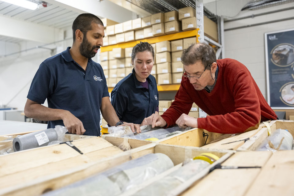
Scientists gain access to ‘once in a lifetime’ core from Great Glen Fault
01/12/2025
The geological core provides a cross-section through the UK’s largest fault zone, offering a rare insight into the formation of the Scottish Highlands.
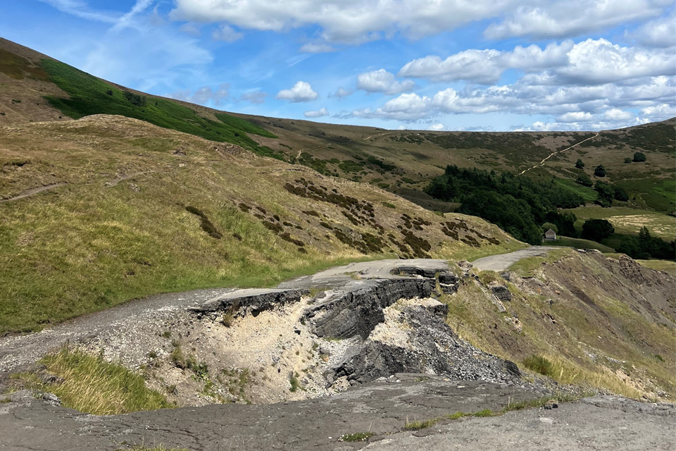
Artificial intelligence helps scientists identify 3000 moving slopes potentially at risk of landslide
25/09/2025
A new approach that combines AI and satellite data has been used by scientists to detect actively moving landslides at a national scale.

New BGS GeoIndex viewer released for user testing
24/09/2025
The premium map-viewing application has been given a major upgrade and made available as a beta release.

New seabed sediment maps reveal what lies beneath the waves
03/09/2025
Marine ecosystem science and offshore infrastructure will be boosted by a new dataset showing sediment composition across the UK continental shelf.
Is your region susceptible? Britain’s geohazard hotspots revealed
14/08/2025
From sinkholes to radon: new maps highlight the most geologically at-risk regions
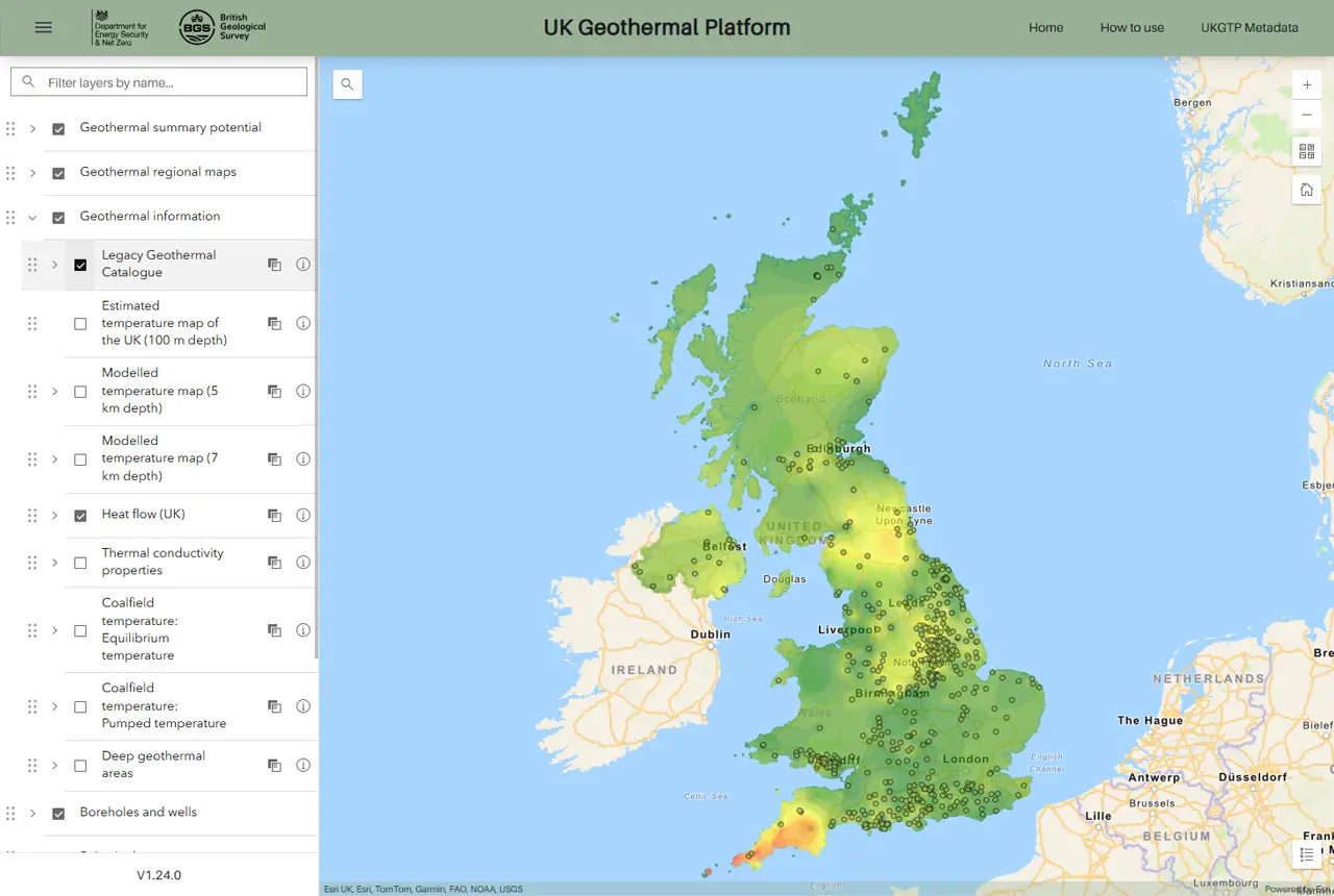
New platform highlights geothermal potential across the UK
11/08/2025
A new government-funded geothermal initiative, which includes an interactive map, has launched to help decision makers assess the geothermal potential across the UK.
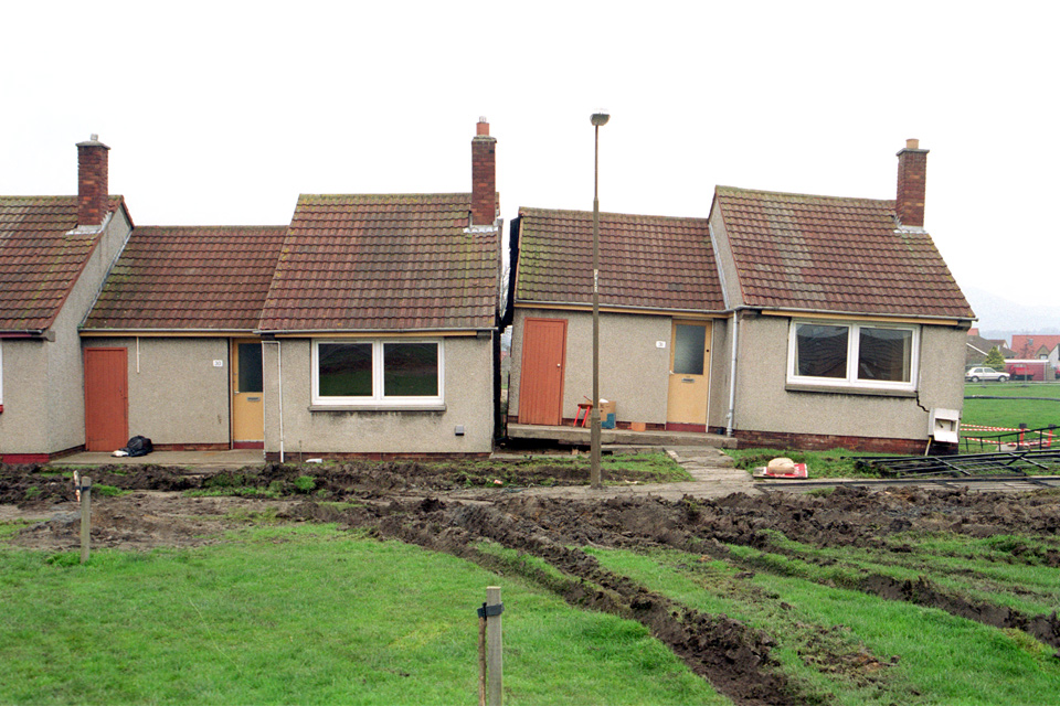
New tool helps identify coal mine gas risk for housing developments in Scotland
05/08/2025
Scientists have co-developed a new tool for North Lanarkshire Council to help screen coal mine gas emissions prior to the development of new houses and buildings.
New journal article reveals snapshot of forever chemicals in shallow English soils
31/07/2025
Data on the presence of per- and polyfluoroalkyl substance concentrations in English soils has been released.

Modern pesticides found in UK rivers could pose risk to aquatic life
17/06/2025
New research shows that modern pesticides used in agriculture and veterinary medicines have been found for the first time in English rivers.
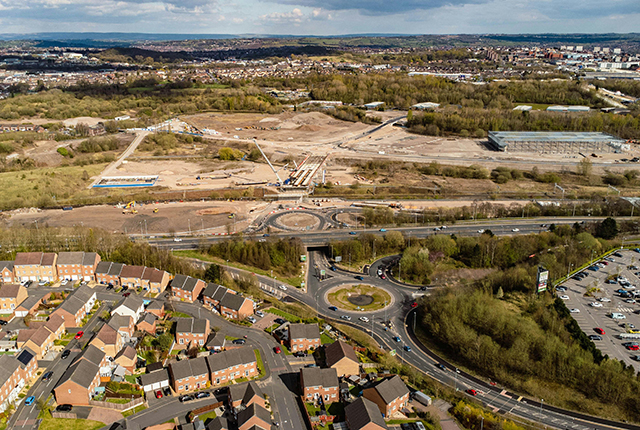
Goldilocks zones: ‘geological super regions’ set to drive annual £40 billion investment in jobs and economic growth
10/06/2025
Eight UK regions identified as ‘just right’ in terms of geological conditions to drive the country’s net zero energy ambitions.
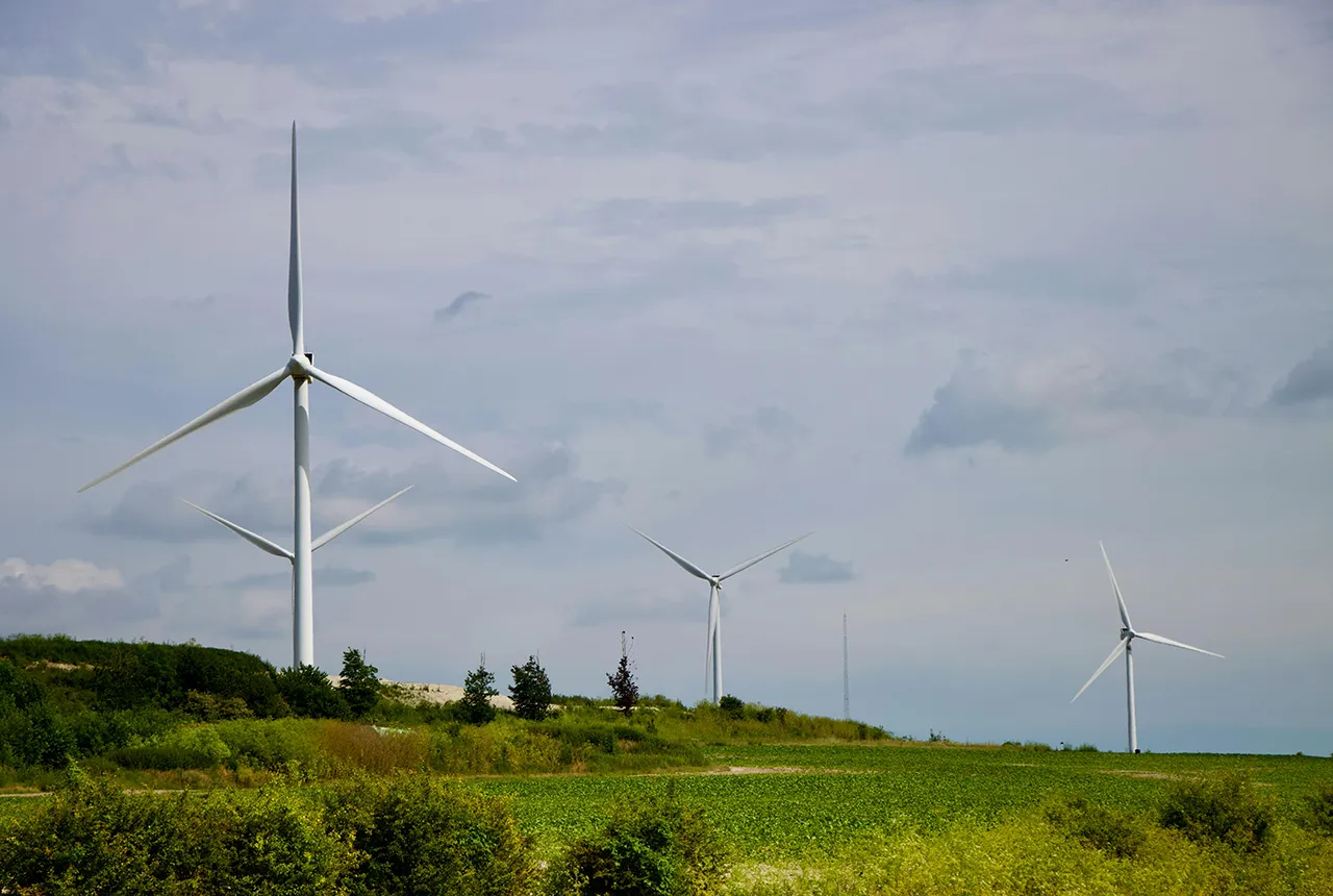
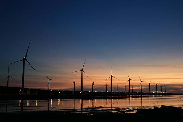
New interactive map viewer reveals growing capacity and rare earth element content of UK wind farms
16/05/2025
BGS’s new tool highlights the development of wind energy installations over time, along with their magnet and rare earth content.
You may also be interested in
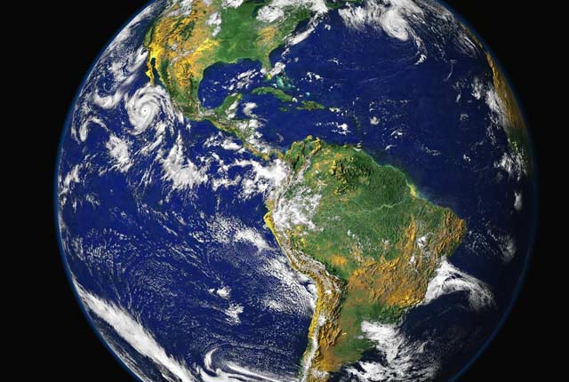
International geoscience
BGS is active across the globe delivering institutional strengthening programmes and applied research projects across a wide variety of sectors.
Digital geoscience
The BGS is a data-rich organisation. Our data science and data infrastructure are fundamental to our future research and underpin our strategic challenges.