
Understanding our Earth
We are a world-leading independent research organisation providing objective, expert geoscientific data, information and knowledge.
Latest news and events
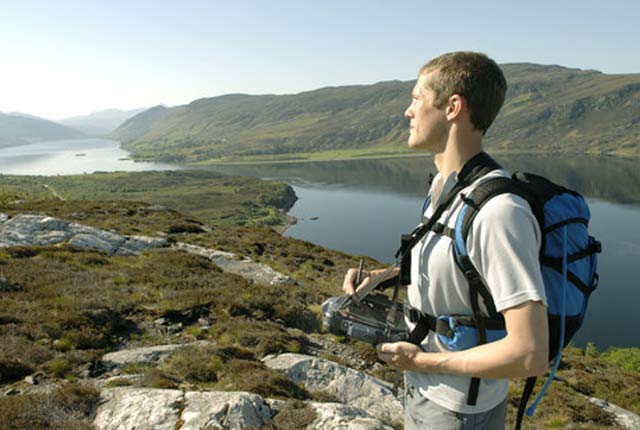
Geology sans frontières
24/04/2025
Geology doesn’t stop at international borders, so BGS is working with neighbouring geological surveys and research institutes to solve common problems with the geology they share.

Isle of Arran announced as UNESCO Global Geopark
17/04/2025
The Isle of Arran has officially been named as the tenth UNESCO Global Geopark in the UK.
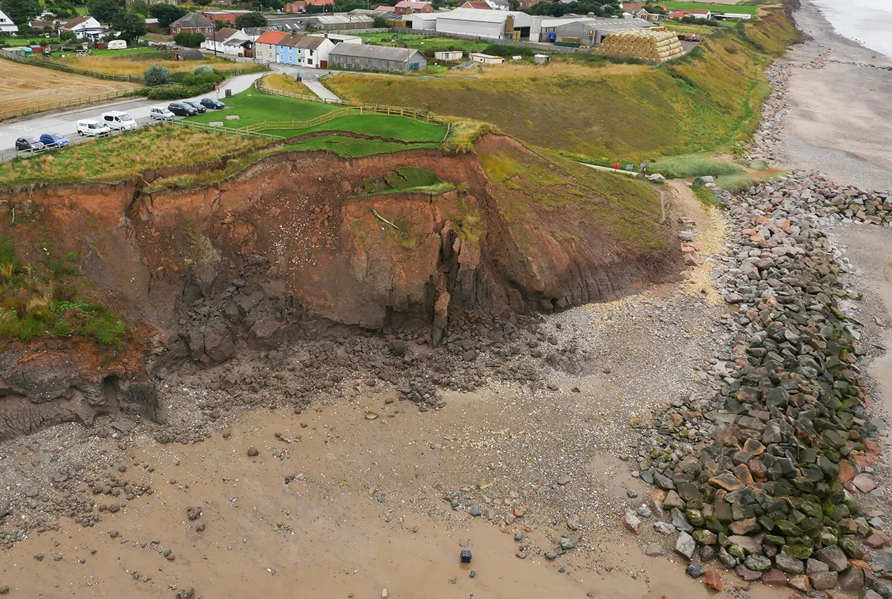
What does the next generation of coastal environmental models look like?
15/04/2025
A new tool is now available that has been designed to help coastal engineers and practitioners better manage the compound risk of coastal erosion and flooding.
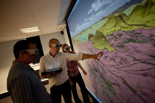
Celebrating 20 years of virtual reality innovation at BGS
08/04/2025
Twenty years after its installation, BGS Visualisation Systems lead Bruce Napier reflects on our cutting-edge virtual reality suite and looks forward to new possibilities.
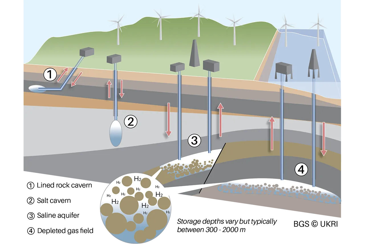
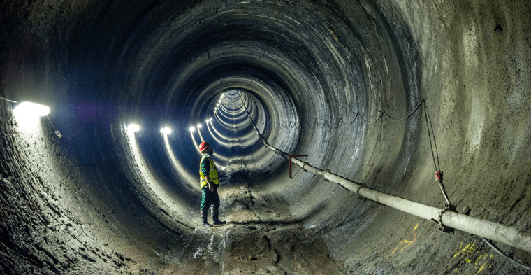
Making the case for underground hydrogen storage in the UK
03/04/2025
A new BGS science briefing note focuses on the potential of hydrogen storage to support the UK energy transition.
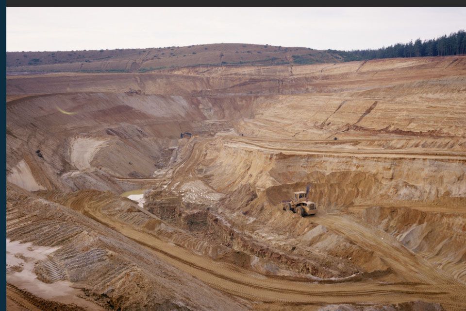
New data reveals latest mineral workings around Great Britain and Northern Ireland
01/04/2025
The newest release of BGS BritPits provides information on an additional 6500 surface and underground mineral workings.
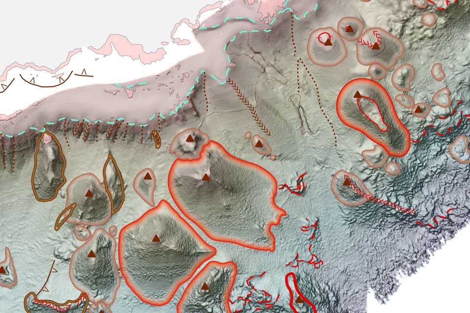
New seabed geology maps to enable long term conservation around Ascension Island
01/04/2025
BGS deliver the first marine geology and habitat maps for one of the World’s largest marine protected areas.
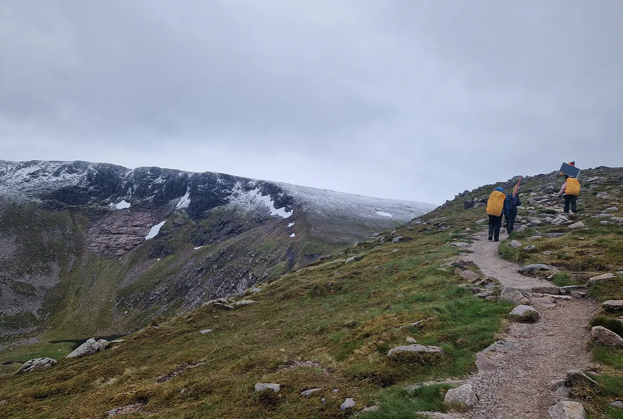
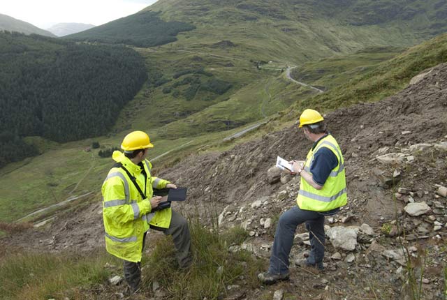
Exploring Scotland’s hidden energy potential with geology and geophysics: fieldwork in the Cairngorms
31/03/2025
BUFI student Innes Campbell discusses his research on Scotland’s radiothermal granites and how a fieldtrip with BGS helped further explore the subject.
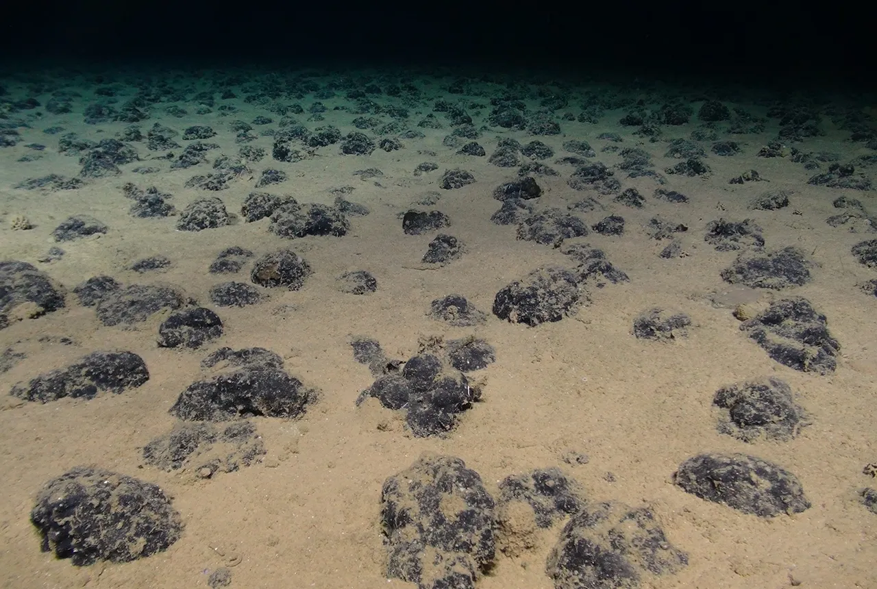
New study reveals long-term effects of deep-sea mining and first signs of biological recovery
27/03/2025
BGS geologists were involved in new study revealing the long-term effects of seabed mining tracks, 44 years after deep-sea trials in the Pacific Ocean.

BGS announces new director of its international geoscience programme
17/03/2025
Experienced international development research leader joins the organisation.
Future projections for mineral demand highlight vulnerabilities in UK supply chain
13/03/2025
New Government-commissioned studies reveal that the UK may require as much as 40 per cent of the global lithium supply to meet anticipated demand by 2030.
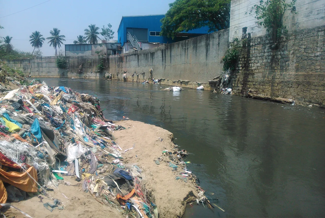
Presence of harmful chemicals found in water sources across southern Indian capital, study finds
10/03/2025
Research has revealed the urgent need for improved water quality in Bengaluru and other Indian cities.
Our core challenge areas
Decarbonisation and resource management
Decarbonisation of power production, heat, transport and industry is a major challenge and one that intrinsically involves geoscience.

Multi-hazards and resilience
We work with partners worldwide to enhance understanding of hazards, vulnerability, exposure and risk to ensure our science is useful, usable and used.
International geoscience
BGS is active across the globe delivering institutional strengthening programmes and applied research projects across a wide variety of sectors.
National geoscience
The National Geoscience programme is a forward-looking investment in UK geology that provides relevant, coherent and enriched geoscience knowledge for our stakeholders.
Digital geoscience
The BGS is a data-rich organisation. Our data science and data infrastructure are fundamental to our future research and underpin our strategic challenges.


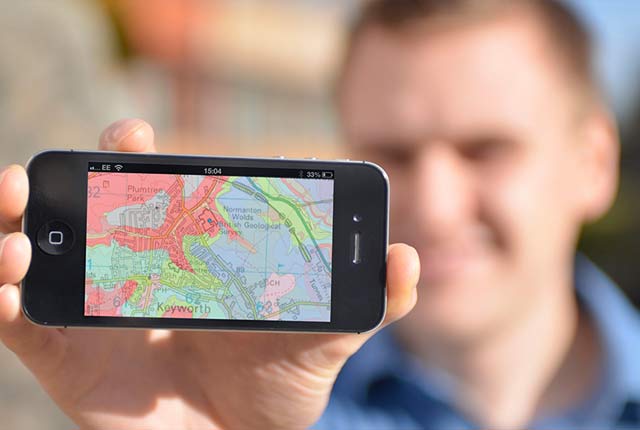
Map viewers
Data published through map viewers allowing you to reveal more about the ground beneath your feet.

Technologies
Applications, software and online services created by the BGS and our collaborators.
Information hub
Data collections, publications, scanned records and other data gathered by BGS and provided by external organisations.
OpenGeoscience
Accessing maps and downloading data, scans, photos and other information via BGS’s free OpenGeoscience service.
Digital geoscience
The BGS is a data-rich organisation. Our data science and data infrastructure are fundamental to our future research and underpin our strategic challenges.
Digital data licensing and resellers
Providing a wide range of licences for the use and utilisation of our information products by for those interested in an information product and the Open Government Licence is not applicable.

National Geoscience Data Centre
Collecting and preserving geoscientific data, making it available to a wide range of users and communities.
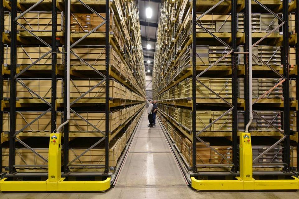
National Geological Repository
Hosting BGS’s collections of borehole cores, cuttings, samples, specimens, and related subsurface information from the UK landmass and continental shelf.
Discovering Geology
Discovering Geology introduces a range of geoscience topics to school-age students and learners of all ages. Explore these pages to discover the fascinating processes and properties that shape our dynamic planet.
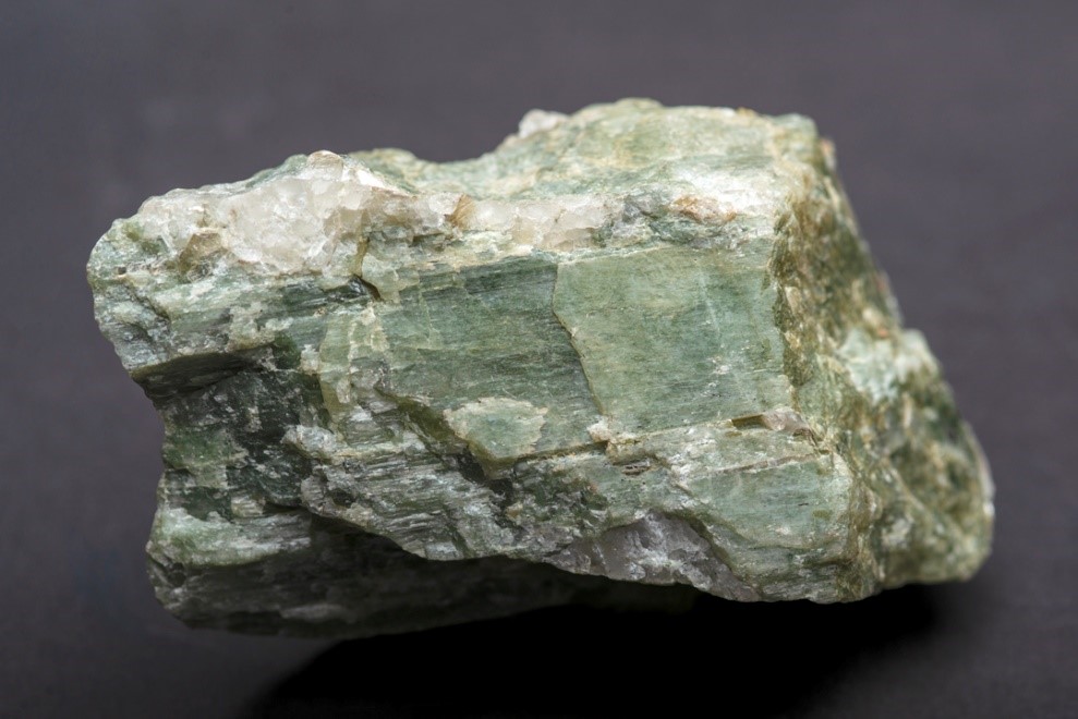
Rocks and minerals
Find out more about the differences between rocks and minerals and how they are formed.
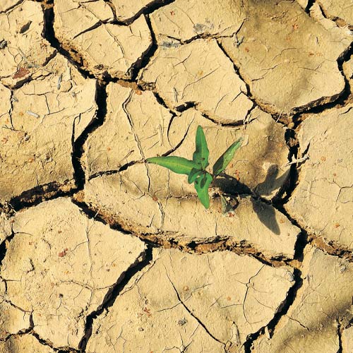
Discovering Geology: climate change
What is the difference between weather and climate? what causes the Earth’s climate to change and what are the impacts? Find out more with our Discovery Geology climate change resources.
Earth hazards
The Earth beneath our feet is constantly shifting and moving, and violently with catastrophic and immediate results. Find out more about earth hazards.
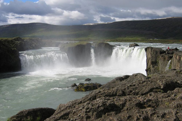
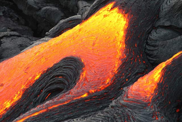
Geological processes
Planet Earth is dynamic with a surface that is always changing. Find out about the processes that cause these changes.
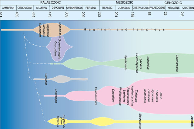
Fossils and geological time
Take a look at the history of the Earth, from its formation over four and a half billion years ago to present times.
About BGS
As the national geological survey, we are the UK’s premier provider of objective and authoritative scientific data, information and knowledge to help society understand our Earth.
Our data and services
The BGS offers a range of services and information for businesses, home-owners, policymakers and the general public.

Working with us
BGS is committed to being an employer of choice and strives to embrace a culture of inclusivity and flexibility.
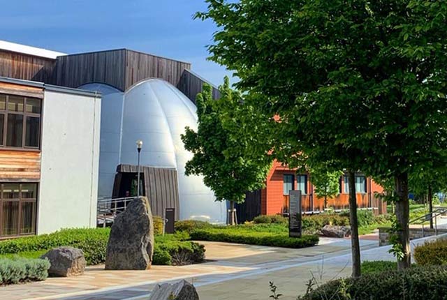
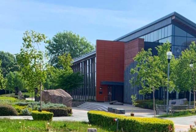
Offices and locations
Find out more about our offices and facilities located across the UK.
Contact us
Find out more about the BGS and the services we offer through our enquiries and customer services team.