Datasets
These are our most popular and influential datasets. For a comprehensive list of all BGS data, please visit the BGS Metadata Catalogue
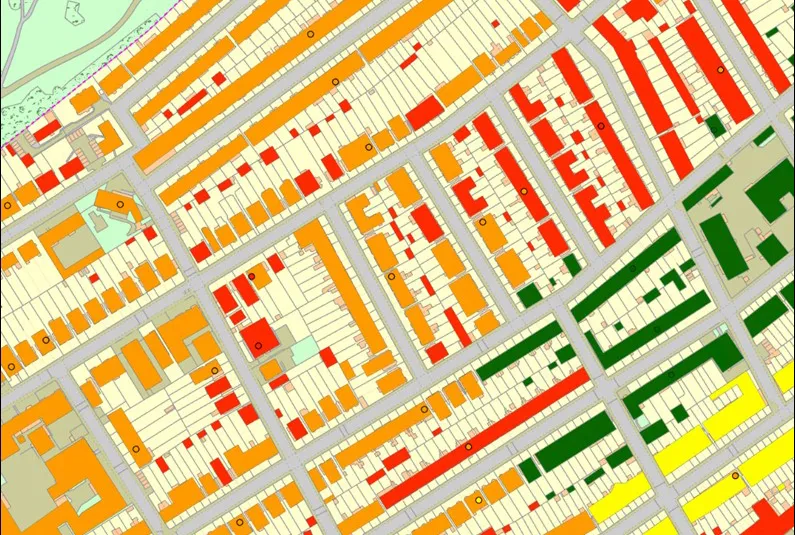
 Data Preview
The BGS corrosivity dataset is a GIS layer supporting the management of underground iron assets that has been created in response to the growing awareness of the cost of maintenance of structures such as pipelines and building foundations.
- Premium
- 1:50 000
- Great Britain
Data Preview
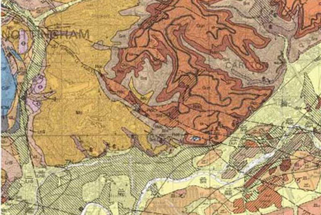
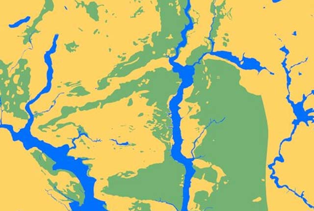
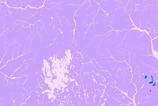
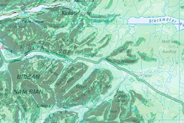
The BGS Geology datasets are digital geological maps of Great Britain based on the different series of published BGS geological maps.
 Data Preview
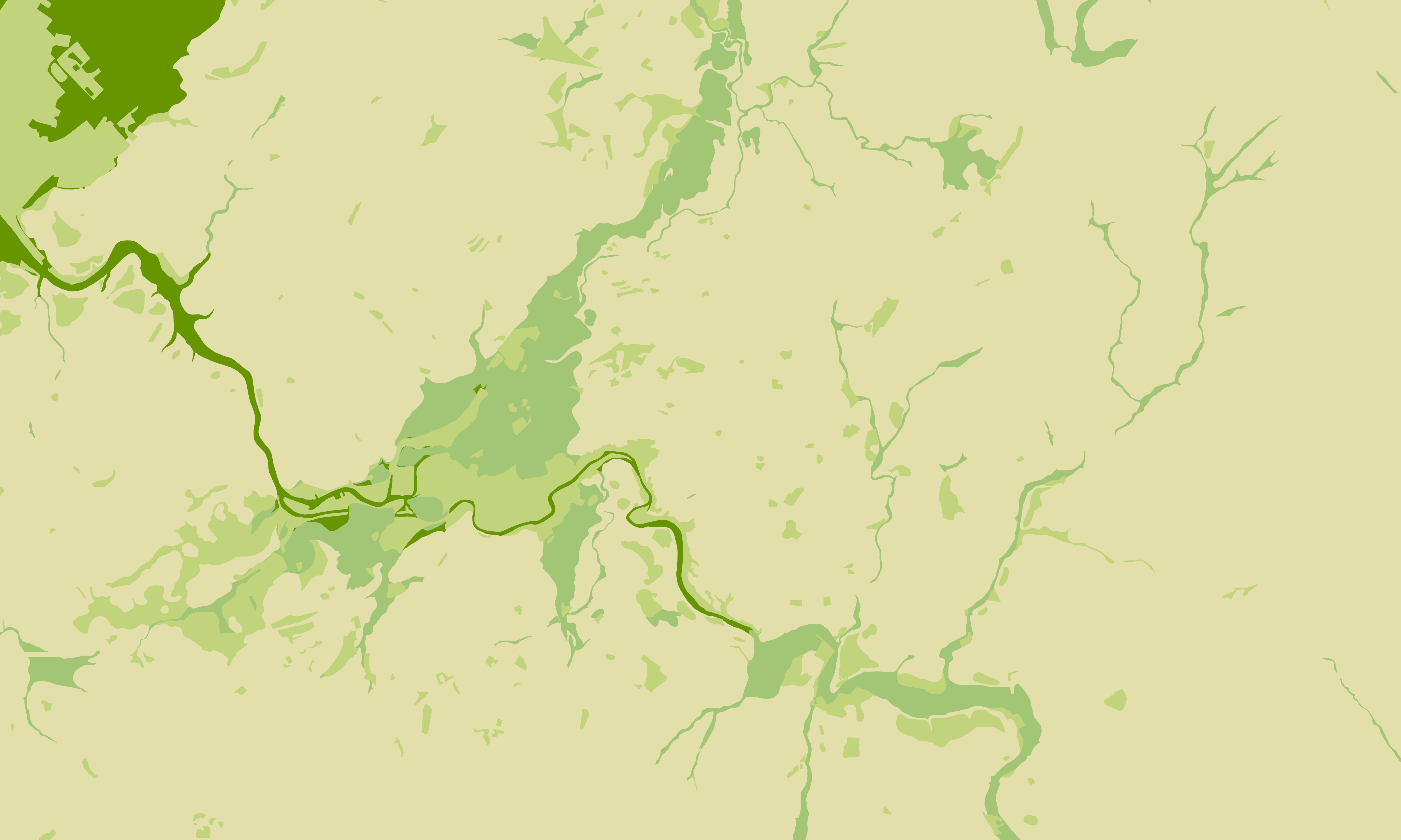
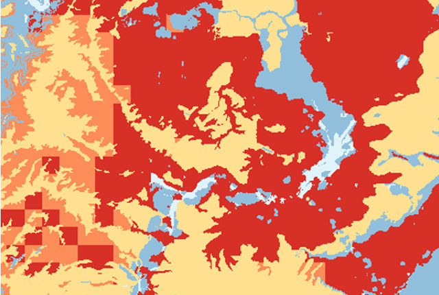
The BGS GeoSure datasets identify areas of potential hazard and, therefore, potential natural ground movement, in Great Britain.
- Premium
- 1:50 000
- Great Britain
Data Preview
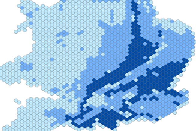
The BGS GeoSure 5 km hex grid datasets provide a generalised overview of the susceptibility to six naturally occurring geohazards in Great Britain.
- Open
- 5 km hex grid (approx. 1:5 000 000)
- Great Britain
 Data Preview
The potential for collapsible ground to be a hazard has been assessed using 1:50 000 scale digital maps of superficial deposits.
- Premium
- 1:50 000
- Great Britain
Data Preview
 Data Preview
The potential for compressible ground to be a hazard has been assessed using 1:50 000-scale digital maps of superficial and bedrock deposits.
- Premium
- 1:50 000
- Great Britain
Data Preview
 Data Preview
The Debris Flow landslide layer provides information on the potential of the ground, at a given location, to form a debris flow. It is based on a combination of digital geological, hydrogeological and topographic data.
- Premium
- 1:50 000
- Great Britain
Data Preview
 Data Preview
The potential for landsliding (slope instability) to be a hazard has been assessed using 1:50 000 scale digital maps of superficial and bedrock deposits. These have been combined with information from the BGS National Landslide Database and scientific and engineering reports.
- Premium
- 1:50 000
- Great Britain
Data Preview
 Data Preview
The potential for running sand to be a hazard has been assessed using 1:50 000-scale digital maps of superficial and bedrock deposits.
- Premium
- 1:50 000
- Great Britain
Data Preview
 Data Preview
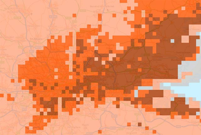
Many soils contain clay minerals that absorb water when wet (making them swell), and lose water as they dry (making them shrink). Many of us see this in our gardens when the ground becomes cracked during the summer, yet becomes ‘heavy’ in the winter.
- Premium
- 1:50 000
- Great Britain
Data Preview
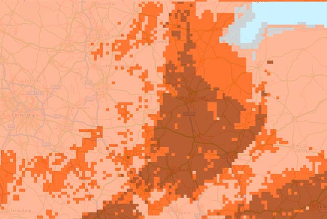
The shrink–swell 3D data is a regional hazard susceptibility map that identifies areas of potential shrink–swell hazard in 3D at intervals down to 20 m in the London and Thames Valley area.
- Premium
- 1:50 000
- London and Thames Valley
Data Preview
This is a single data layer that identifies areas of potential shrink–swell hazard that are underneath another solid formation and therefore hidden from the surface.
- Premium
- 1:625 000
- Great Britain
 Data Preview
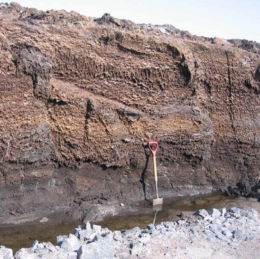
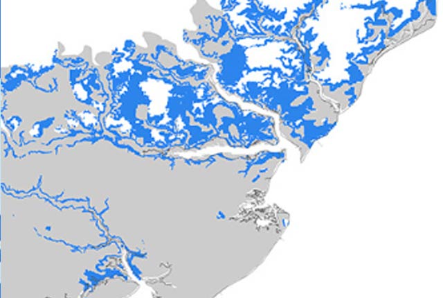
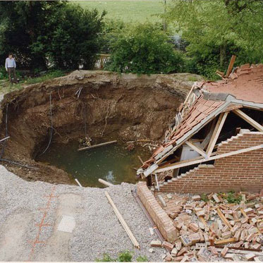
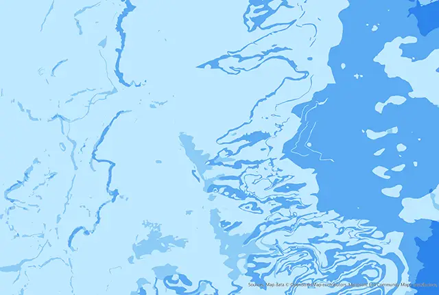
Ground dissolution occurs when water passing through soluble rocks produces underground cavities and cave systems. These cavities reduce support to the ground above and can cause localised collapse of the overlying rocks and deposits.
- Premium
- 1:50 000
- Great Britain
Data Preview
 Data Preview
This theme provides information on the electrical resistivity of a geological material, to be used where the earthing characteristics of the ground are required.
- Premium
- 1:50 000
- Great Britain
Data Preview
 Data Preview
GeoClimate clay shrink-swell provides information on the projected future change in susceptibility of clay shrink–swell across Great Britain due to climate change.
- Premium
- 1:50 000
- Great Britain
Data Preview
BGS has developed a suite of products, including maps and data, which show potential change in subsidence due to UKCP climate change scenarios
Based on medium emissions scenario, provides the most susceptible value for the time periods 2030s, 2050s and 2080s within the grid cell.
- Open
- 2 km gridded dataset
- Great Britain
Based on higher emissions scenario, provides the most susceptible value for the time periods 2030s and 2070s within the grid cell.
- Open
- 2km gridded dataset
- Great Britain
This product provides an index-level assessment of the potential for financial insurance loss due to natural ground movement.
- via BGS Data Resellers
- 1:50 000
- Great Britain
The BGS property subsidence assessment dataset uses a combination of best available geology, tree location and property information to provide property- and postcode-specific information on ground movement across England and Wales.
- via BGS Data Resellers
- PSA buildings: 1:50 000; PSA postcodes
- Great Britain
As a result of our annual price review BGS will apply, in most cases, a 3 percent increase* to our direct licence fees for our data products from 1st April 2026. This means that any direct licence issued or renewed on or after 1 April 2026 will reflect this increased price. Existing data licensees will not be affected until such time as their licence is next due for renewal, after 1 April 2026. BGS undertakes annual price reviews and will communicate any future licence fee changes (from 2027) as appropriate.
If you have any queries regarding this matter, please contact the IPR digital team (iprdigital@bgs.ac.uk).
* Due to the specific pricing of individual datasets please note not all price changes will equate exactly to 3%.