
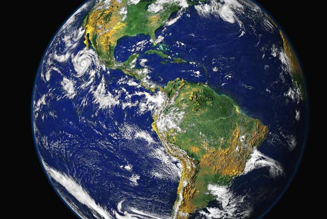
Understanding our Earth
We are a world-leading independent research organisation providing objective, expert geoscientific data, information and knowledge.
Latest news and events
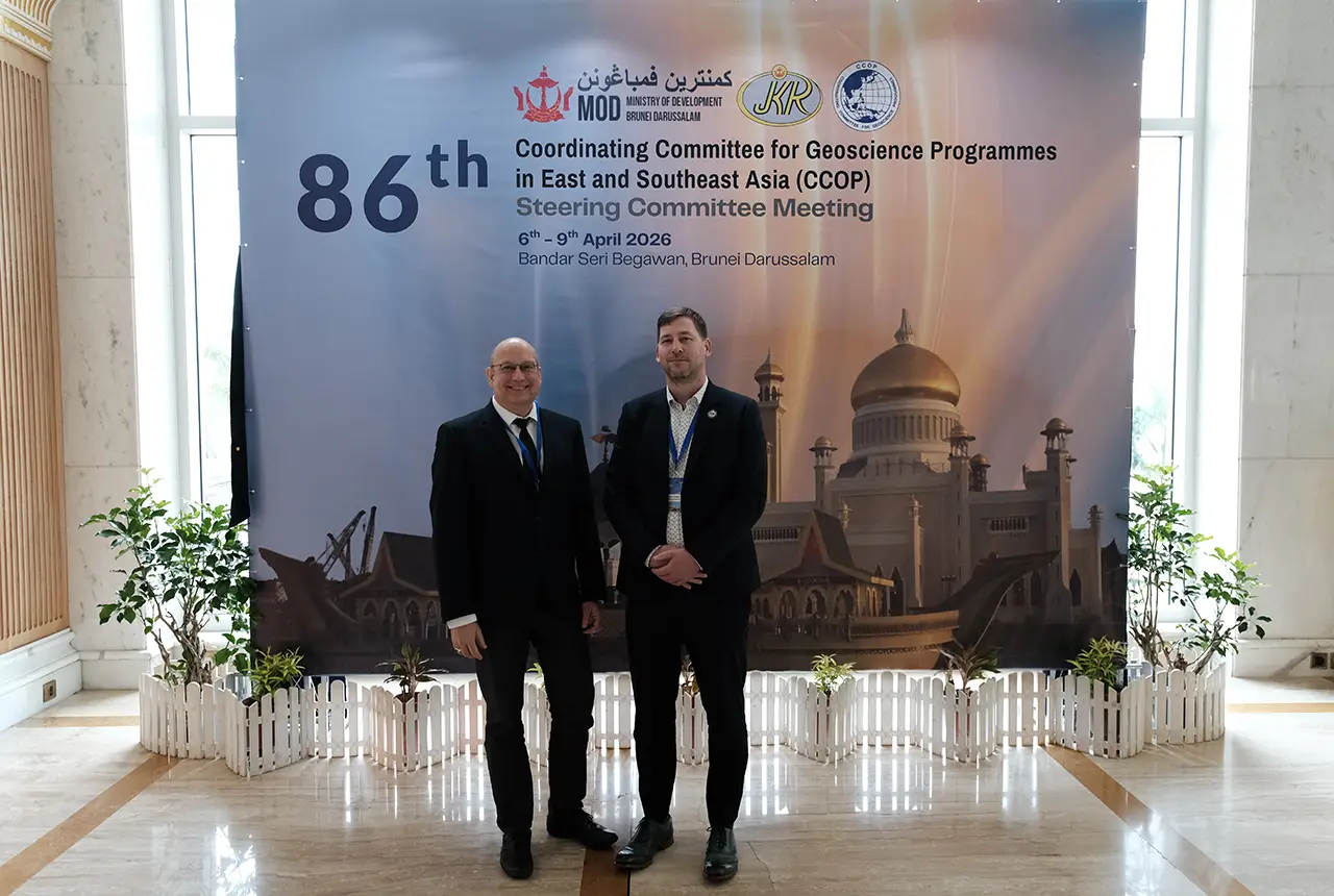
BGS engineering geologist elected to CCOP
29/04/2026
Marcus Dobbs has been elected as vice-chair of the advisory group for the Coordinating Committee for Geoscience Programmes in East and Southeast Asia.

Strengthening capacity through partnership: a critical minerals perspective
28/04/2026
BGS has been working in partnership with the Geological Survey Department of Zambia (GSD) to build national capacity, improve data accessibility and support long-term, sustainable development.
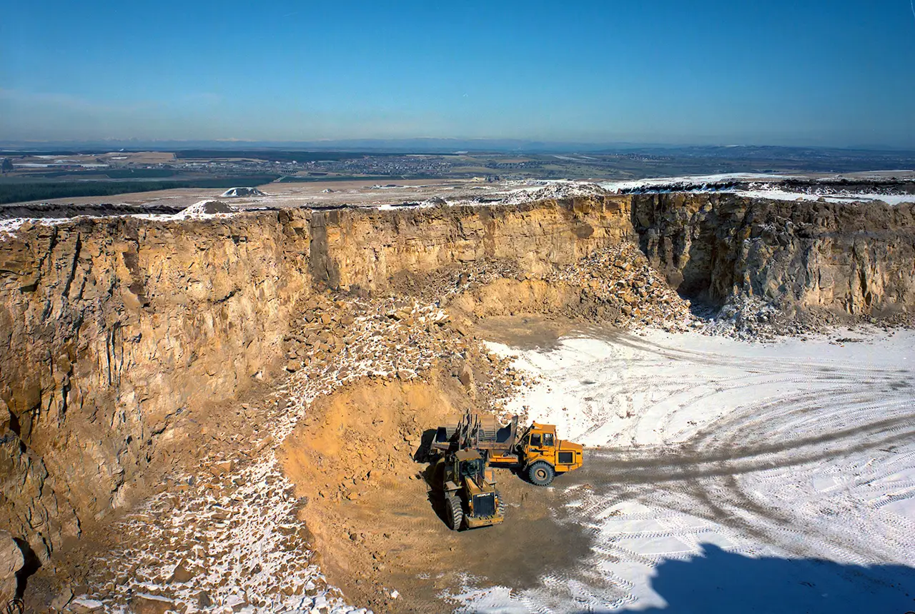
UK Minerals Yearbook 2025 now available
21/04/2026
The annual publication provides essential information about the production, consumption and trade of UK minerals up to 2025.

UK scientists unite for seabed mapping survey of the UK’s south-west coastline
15/04/2026
BGS geologists join research voyage, gathering crucial geological data to support offshore energy and infrastructure projects.

Isotopes and science: my student placement at BGS
08/04/2026
Industrial placements at BGS for undergraduate students give real-life experience of working in laboratories and learning different analytical techniques.

Updated geological assessment of the Southern North Sea set to underpin future offshore infrastructure development
25/03/2026
The first regional assessment for 30 years will support offshore marine and subsurface planning for the UK’s low-carbon energy infrastructure, including the 2030 target of 45 to 50 GW generated through offshore wind.

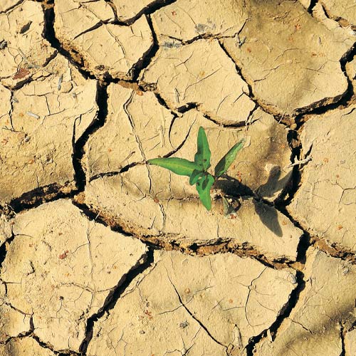
New research could help provide a more reliable water supply for millions in rural Africa
24/03/2026
A new BGS-led study has revealed crucial insights into the longstanding challenges affecting the reliability and performance of rural water supply infrastructure in sub-Saharan Africa.

UK Critical Minerals Intelligence Centre 2026 showcase
Event on 31/03/2026
A special live webinar with the team from the Critical Minerals Intelligence Centre showcasing the latest research from 2026 on copper, the future of digital, and what’s next for the criticality assessment. A recording of the event is now available.

PhD adventures in Copenhagen, Denmark: revealing past recovery processes of tropical forest systems through ancient environmental DNA
12/03/2026
PhD student Chris Bengt visited the University of Copenhagen to carry out very delicate extraction of aeDNA from lake-sediment cores, in the hopes of unlocking the secrets of past volcanic eruptions.

Call for new members and Chair to join the NERC facilities steering committees
25/02/2026
New members are needed to join the committees over the next four years.

Your views wanted: developing a geothermal energy subsurface data portfolio
24/02/2026
BGS is aiming to support the growth of the sector by providing the best-available, location-specific geothermal and ground source heat information as an accessible product or service.

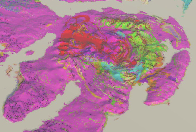
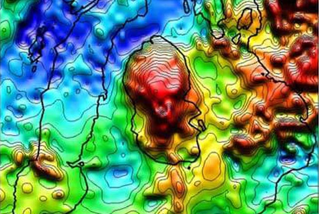
Map of BGS BritPits showing the distribution of worked mineral commodities across the country
18/02/2026
BGS’s data scientists have generated a summary map of the most commonly extracted mineral commodities by local authority area, demonstrating the diverse nature of British mineral resources.
Our core challenge areas
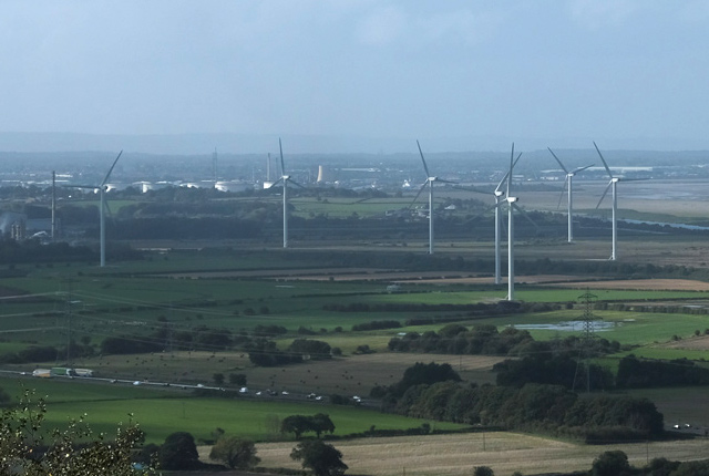
Decarbonisation and resource management
Decarbonisation of power production, heat, transport and industry is a major challenge and one that intrinsically involves geoscience.
Multi-hazards and resilience
We work with partners worldwide to enhance understanding of hazards, vulnerability, exposure and risk to ensure our science is useful, usable and used.
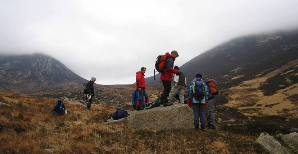
International geoscience
BGS is active across the globe delivering institutional strengthening programmes and applied research projects across a wide variety of sectors.
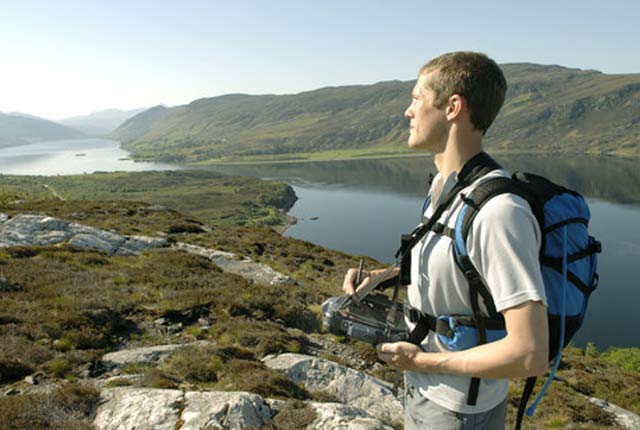
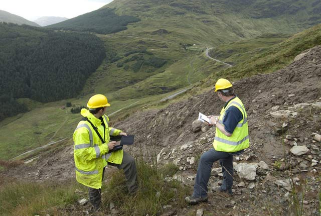
National geoscience
The National Geoscience programme is a forward-looking investment in UK geology that provides relevant, coherent and enriched geoscience knowledge for our stakeholders.
Digital geoscience
The BGS is a data-rich organisation. Our data science and data infrastructure are fundamental to our future research and underpin our strategic challenges.
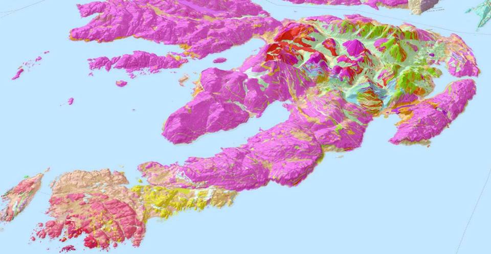


Map viewers
Data published through map viewers allowing you to reveal more about the ground beneath your feet.

Technologies
Applications, software and online services created by the BGS and our collaborators.
Information hub
Data collections, publications, scanned records and other data gathered by BGS and provided by external organisations.
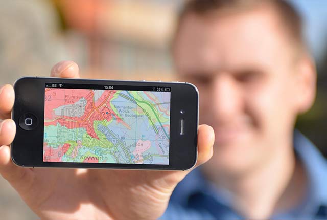
OpenGeoscience
Accessing maps and downloading data, scans, photos and other information via BGS’s free OpenGeoscience service.
Digital geoscience
The BGS is a data-rich organisation. Our data science and data infrastructure are fundamental to our future research and underpin our strategic challenges.
Digital data licensing and resellers
Providing a wide range of licences for the use and utilisation of our information products by for those interested in an information product and the Open Government Licence is not applicable.

National Geoscience Data Centre
Collecting and preserving geoscientific data, making it available to a wide range of users and communities.
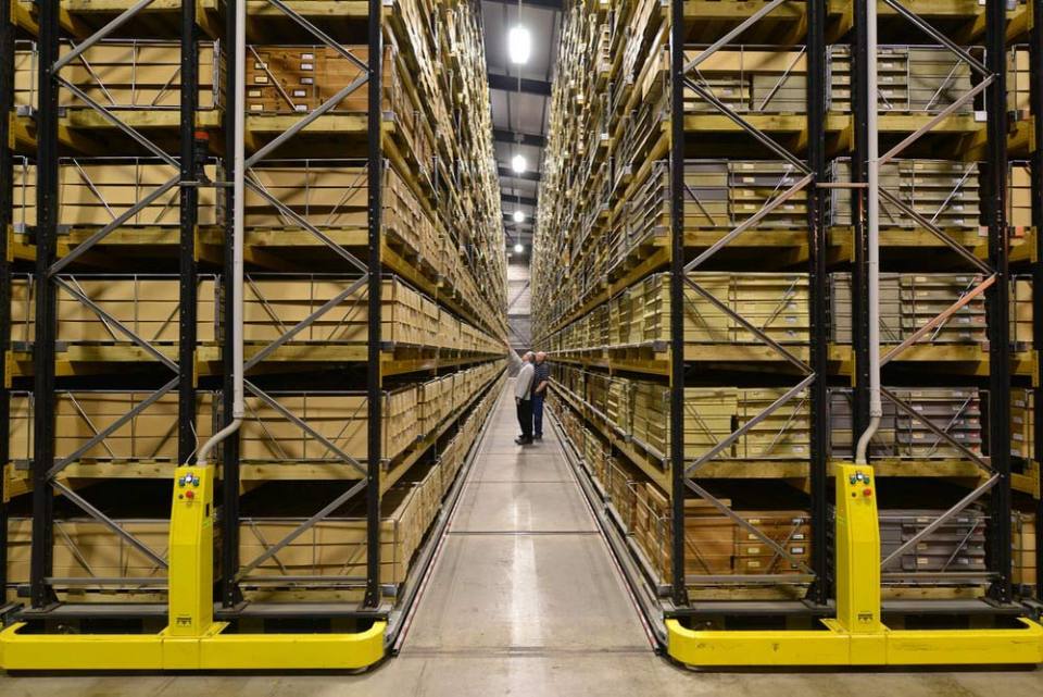
National Geological Repository
Hosting BGS’s collections of borehole cores, cuttings, samples, specimens, and related subsurface information from the UK landmass and continental shelf.
Discovering Geology
Discovering Geology introduces a range of geoscience topics to school-age students and learners of all ages. Explore these pages to discover the fascinating processes and properties that shape our dynamic planet.
Rocks and minerals
Find out more about the differences between rocks and minerals and how they are formed.
Discovering Geology: climate change
What is the difference between weather and climate? what causes the Earth’s climate to change and what are the impacts? Find out more with our Discovery Geology climate change resources.
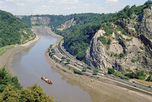
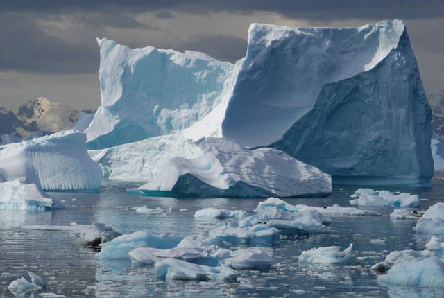
Earth hazards
The Earth beneath our feet is constantly shifting and moving, and violently with catastrophic and immediate results. Find out more about earth hazards.
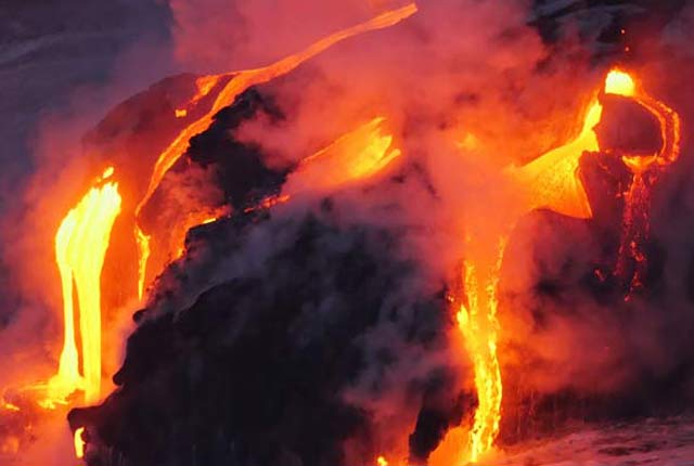
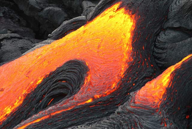
Geological processes
Planet Earth is dynamic with a surface that is always changing. Find out about the processes that cause these changes.
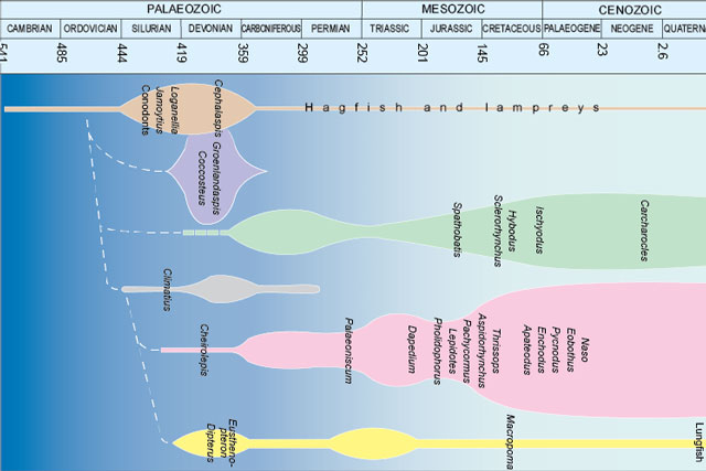
Fossils and geological time
Take a look at the history of the Earth, from its formation over four and a half billion years ago to present times.
About BGS
As the national geological survey, we are the UK’s premier provider of objective and authoritative scientific data, information and knowledge to help society understand our Earth.
Our data and services
The BGS offers a range of services and information for businesses, home-owners, policymakers and the general public.
Working with us
BGS is committed to being an employer of choice and strives to embrace a culture of inclusivity and flexibility.
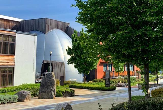
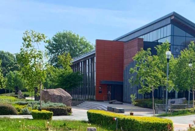
Offices and locations
Find out more about our offices and facilities located across the UK.
Contact us
Find out more about the BGS and the services we offer through our enquiries and customer services team.